
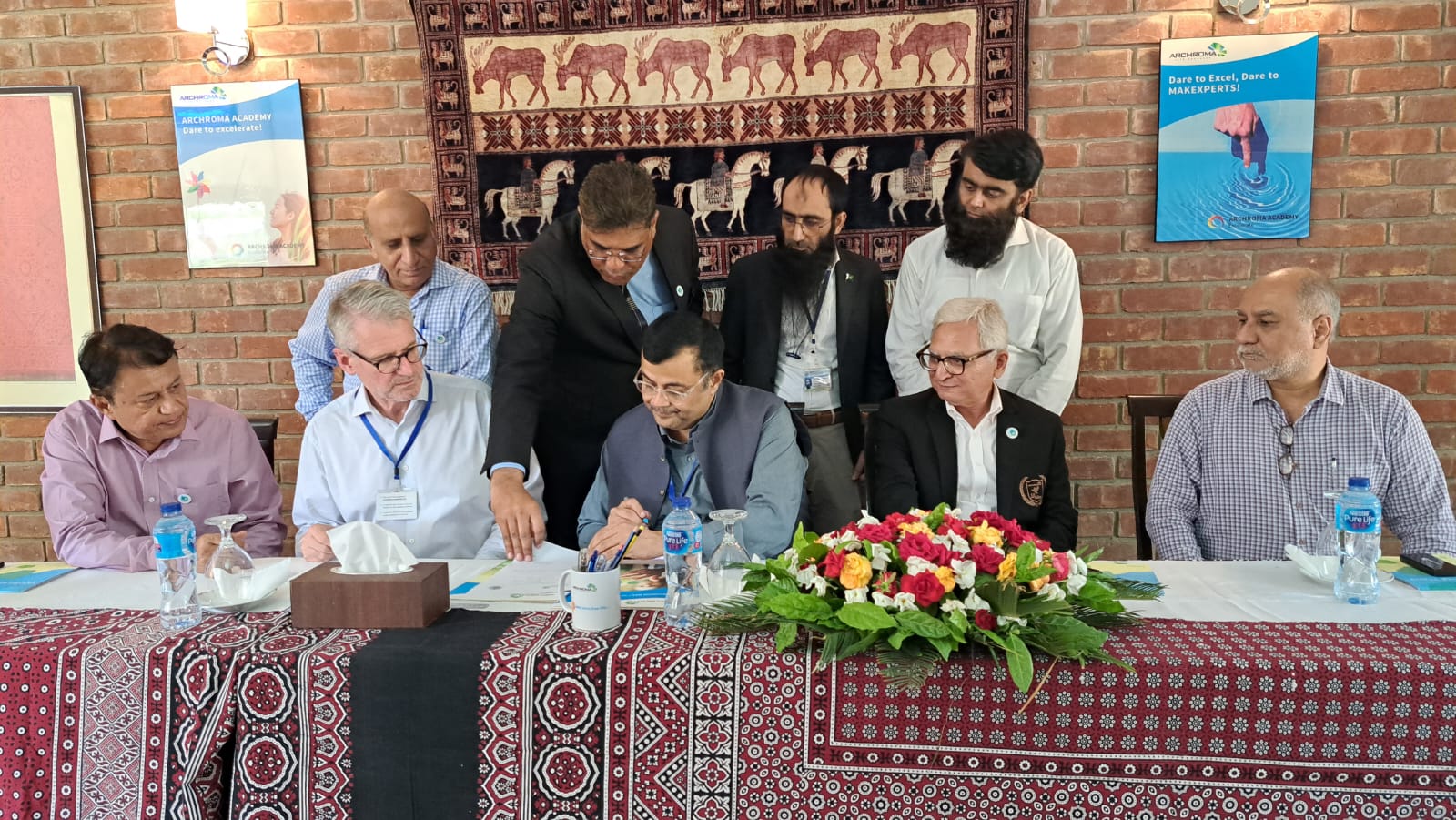
MUET, Archroma Pakistan Extend Agreement of Cooperation
On a momentous occasion at the Archroma Pakistan Ltd. facility in Jamshoro, Mehran University of Engineering and Technology and Archroma […]
On a momentous occasion at the Archroma Pakistan Ltd. facility in Jamshoro, Mehran University of Engineering and Technology and Archroma […]
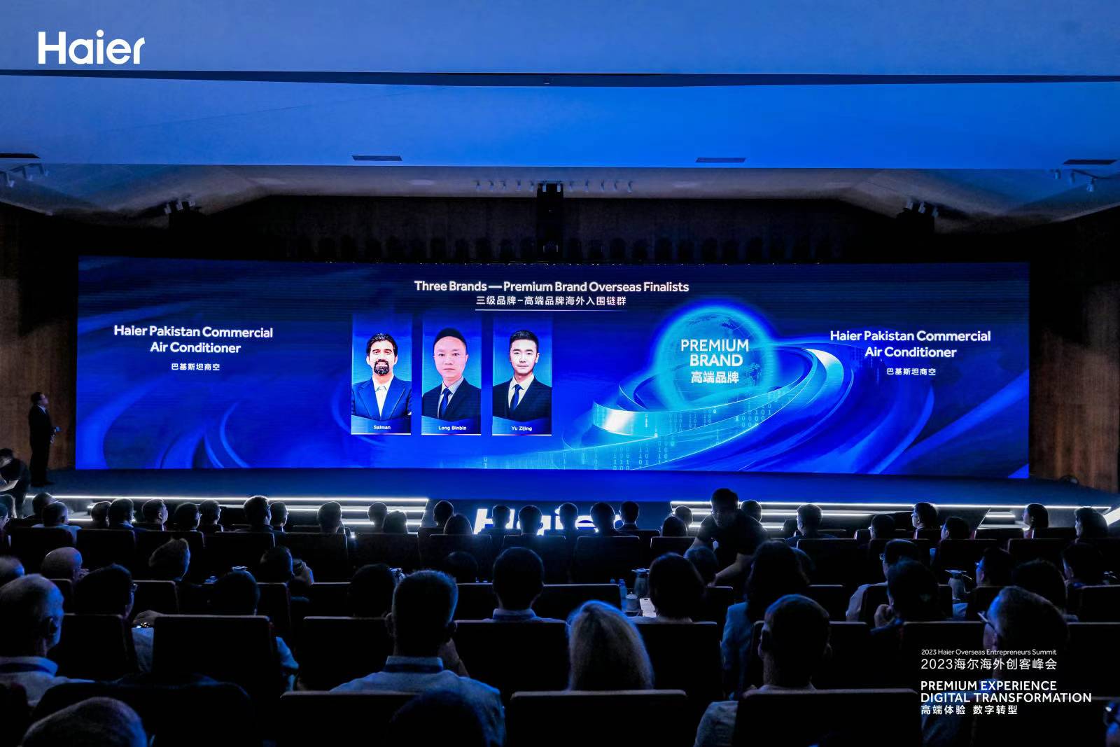
In the ever-evolving world of technology and innovation, the 2023 Haier Overseas Entrepreneurs Summit in China emerged as a pivotal
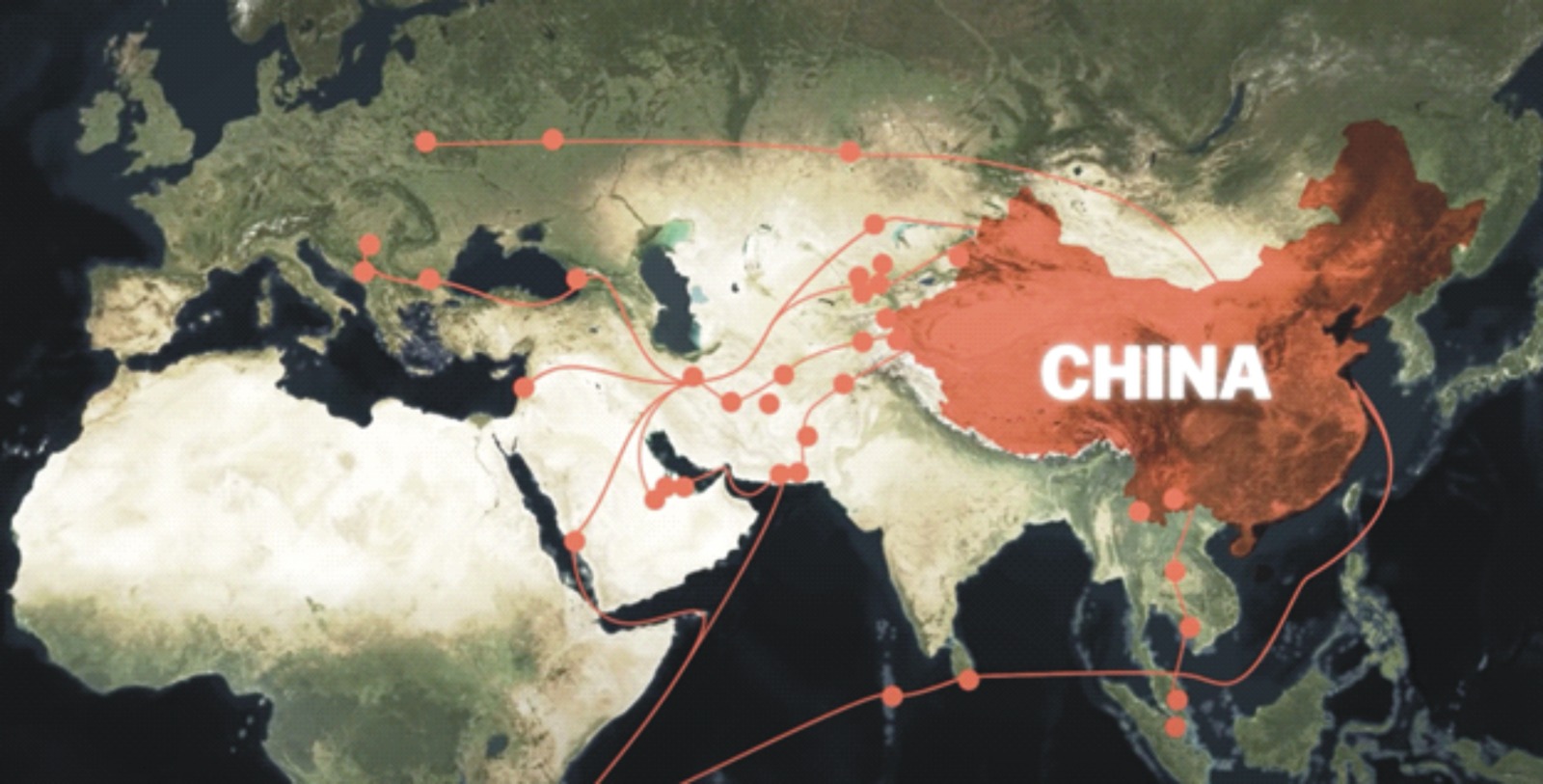
While China concentrates on celebrating the 10th anniversary of its Belt and Road initiative, multiple countries and analysts are looking
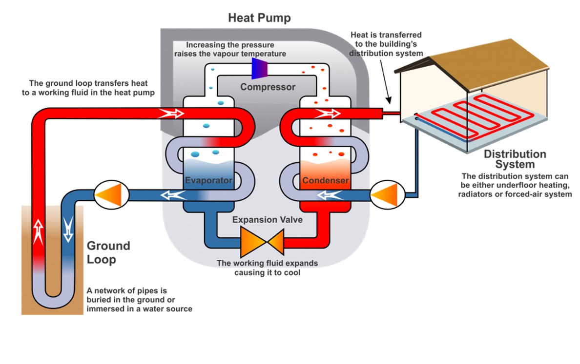
A ground source heat pump, also known as a geothermal heat pump, is a heating and cooling system for structures
The 12th edition of the Institute of Electrical and Electronics Engineers Pakistan (IEEEP) Fair, a showcase of innovation and collaboration